Mt. Whitney
Sierra Nevada · USA
The highest mountain in the contiguous United States — a 35 km out- and-back day hike from Whitney Portal to a 4,421 m summit, with a permit lottery as competitive as the JMT.
- Distance
- 35 km
- Elevation gain
- 1,860 m
- Duration
- 14 h
- Type
- Out & back
What you’re getting into
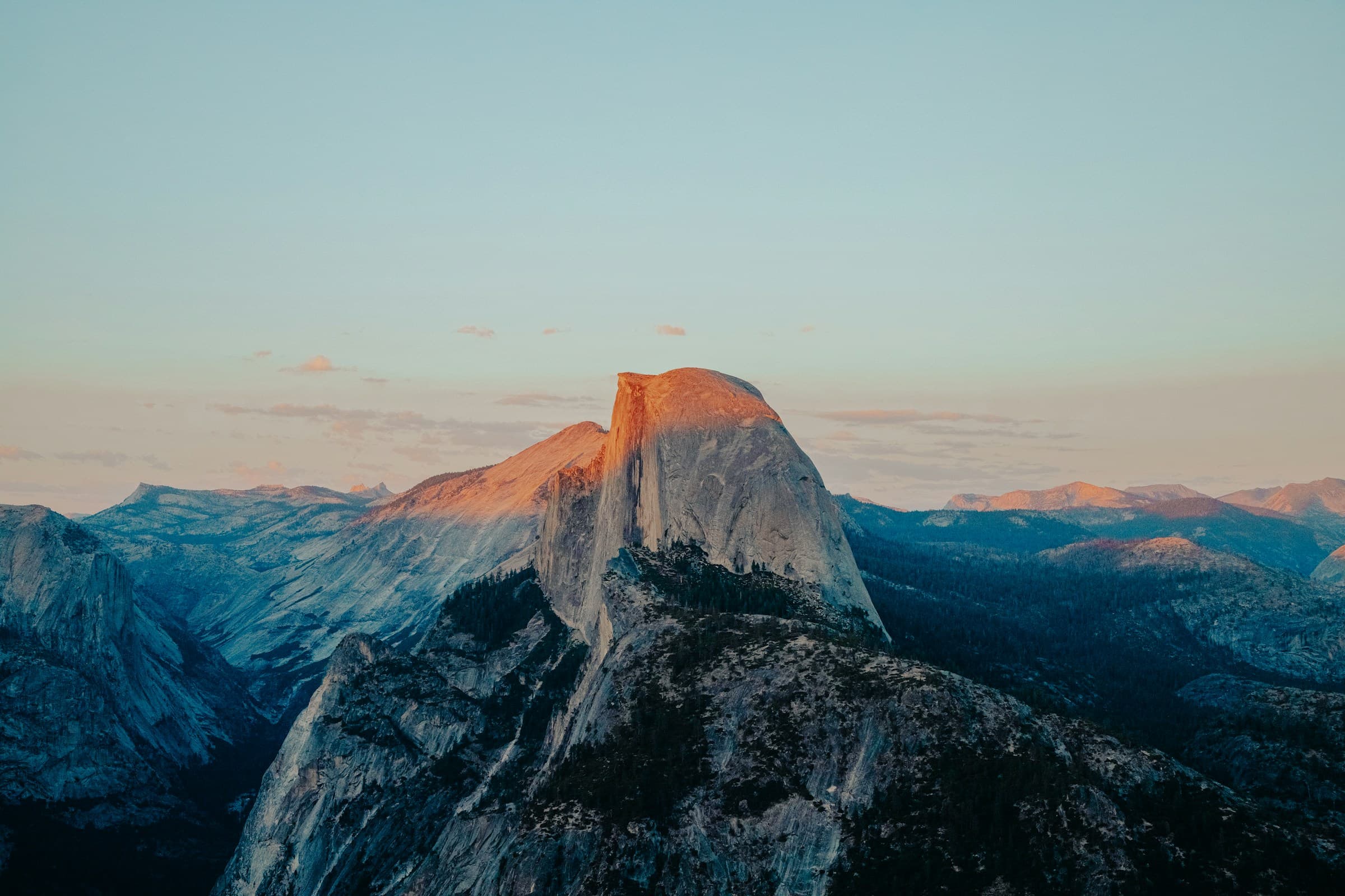
Mt. Whitney is the highest mountain in the contiguous United States at 4,421 m, the southern terminus of the John Muir Trail and a destination in its own right for day hikers from the east side of the Sierra Nevada. The 17.5 km Whitney Portal trail is the classic ascent — a long, exposed, non-technical climb on a well-maintained Forest Service trail that gains 1,860 m to the summit plateau. Most fit hikers complete the 35 km round trip in 12 to 16 hours of moving time.
The trail starts at Whitney Portal (2,560 m), a paved trailhead at the end of the road from Lone Pine. The first 10 km climbs steadily through pine forest and across granite slabs to Trail Camp (3,690 m), the highest tent site on the route and the overnight stop for two-day climbers. From there, the famous "97 Switchbacks" — a sustained, exposed climb up Whitney's east face — leads to Trail Crest (4,140 m) on the main Sierra crest. The final 3 km along the summit ridge undulates through the Whitney pinnacles to the broad summit plateau and the stone hut at the top. The descent reverses the route.
The Whitney Portal trail requires a permit year-round: day-use permits are allocated by a February lottery on recreation.gov, with results announced March 15. Demand outstrips supply 10-to-1 in season. The lottery awards roughly 100 day-use permits and 60 overnight permits per day. The walking season is mid-July to late September; outside that, snow and ice on the switchbacks make the route a serious mountaineering objective. Altitude is real — the trailhead is 2,560 m and the summit is 4,421 m — most strong sea-level hikers feel the thin air on the final ridge. Start early enough to be off the summit before afternoon thunderstorms, which are typical July–August.
Where it goes
4 stops connecting Whitney Portal to Mt. Whitney summit. Click a marker for details.
Standard day hike from Whitney Portal
A 35 km round-trip with 1,860 m of climb. Most fit hikers complete it in 12–16 hours of moving time, starting around 3 AM to be off the summit before afternoon thunderstorms. Day-use permits issued by February lottery on recreation.gov.
- 1Excursion fromWhitney Portal35 km35.0 km