Mt. Rinjani
Lombok · Indonesia
Indonesia's second-highest volcano — a 3-day climb from Sembalun to Rinjani's 3,726 m crater rim, with a pre-dawn summit and a descent past the turquoise Segara Anak crater lake to Senaru.
- Distance
- 30 km
- Elevation gain
- 2,700 m
- Duration
- 3 days
- Type
- One way
What you’re getting into
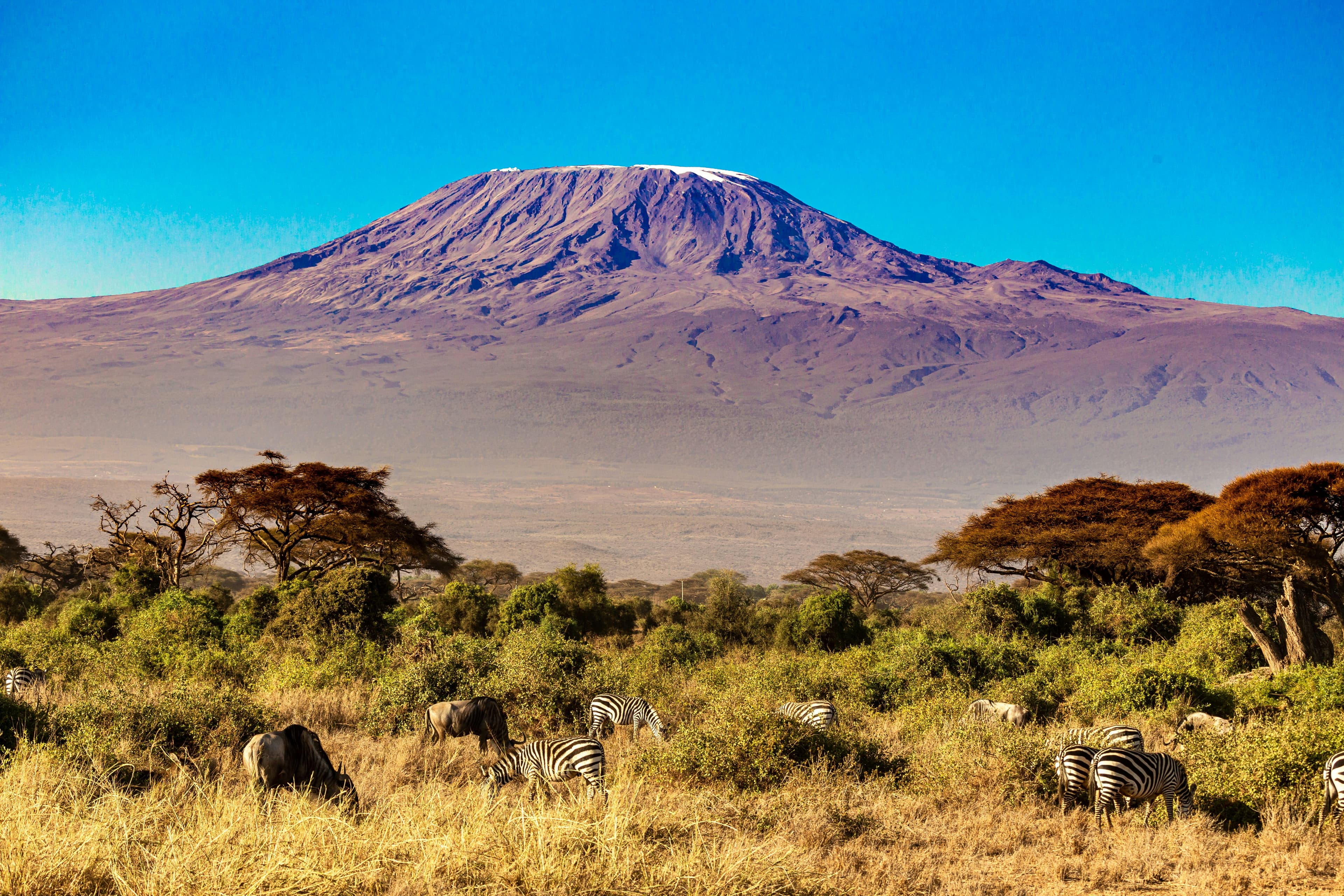
Mt. Rinjani is Indonesia's second-highest volcano at 3,726 m, the centrepiece of Lombok island east of Bali. The mountain is an active stratovolcano with a 6 km-wide caldera holding the crescent-shaped Segara Anak crater lake (the "child of the sea"), inside which a smaller cone, Gunung Barujari, periodically erupts. The 3-day Sembalun-to-Senaru trek is the classic ascent — a circuit that crosses the rim at two different points and visits the lake on the descent.
The trek starts at Sembalun village (1,060 m) on the dry eastern side. Day 1 climbs through 9 km of open savanna and lava grasslands to the Sembalun Crater Rim camp at 2,640 m, with the summit and Bali (on clear days) visible to the west. Day 2 begins around 2 AM for the summit push — three hours of relentless scree (the "two steps up, one step down" stretch is famous for breaking morale) to reach the 3,726 m peak for sunrise. From the summit, you can see the entire caldera, the deep blue lake, and a triple-volcano panorama: Rinjani, Bali's Agung, and Sumbawa's Tambora. The day's second leg drops 1,500 m off the western side of the crater wall to Segara Anak camp by the lake, with natural hot springs for tired legs. Day 3 climbs back up to the Senaru rim and descends through lush rainforest to Senaru village.
Trek seasons are April to December (the dry season; January–March is monsoon and the park officially closes). The 2018 Lombok earthquakes closed Rinjani for a year and damaged the Senaru route, but both have since reopened. The Indonesian park authority requires all foreign climbers to use a licensed local operator, easily booked through trekking offices in Senaru or Sembalun ($150–300 per person all-inclusive). Cooks and porters do all the heavy carrying. The trek is non-technical but physically demanding — long days, altitude headaches, and the loose-scree summit push are the challenges. Pack proper warm layers; the rim camps drop near freezing at night even in the dry season.
Where it goes
6 stops connecting Sembalun village to Senaru village. Click a marker for details.
Standard 3-day Sembalun → Senaru
Day 1 climbs through open savanna to the crater rim camp. Day 2 is the summit day — a 2 AM start to be on top for sunrise, then a steep descent past the lake to the Segara Anak camp with the natural hot springs. Day 3 climbs back to the Senaru crater rim and descends through rainforest to Senaru village.
- 1Sembalun villageSembalun Crater Rim10 km10.0 km
- 2Sembalun Crater RimSegara Anak crater lake8 km18.0 km
- 3Segara Anak crater lakeSenaru village12 km30.0 km