Dry Stone Route (GR 221)
Serra de Tramuntana, Mallorca · Spain
Mallorca's flagship long-distance walk — 140 km along the UNESCO Serra de Tramuntana from Port d'Andratx to Pollença, threading Mediterranean villages, monasteries, and ancient drystone paths.
- Distance
- 140 km
- Elevation gain
- 6,800 m
- Duration
- 8 days
- Type
- One way
What you’re getting into
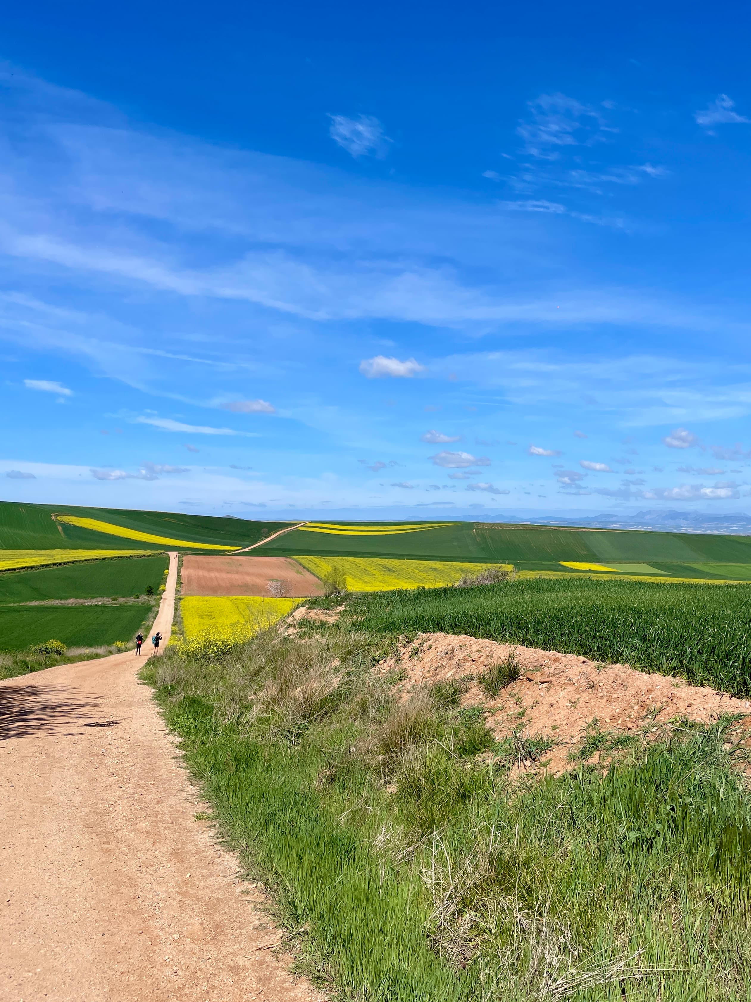
The GR 221 — Ruta de Pedra en Sec, the Drystone Route — is Mallorca's flagship long-distance walk, threading 140 km of UNESCO-listed Serra de Tramuntana between Port d'Andratx in the south-west and Port de Pollença in the north-east. It traces ancient mule-paths and charcoal-burners' tracks built across the centuries entirely from drystone (no mortar), through villages cited in Chopin and George Sand's biographies, past Carthusian monasteries, and along ridges with the Mediterranean visible to one side and the island's interior to the other.
The walk is conventionally walked west-to-east, with 8 to 10 stages of 10–27 km each. The opening days from Port d'Andratx climb steadily through cliff villages — Estellencs, Banyalbufar, Valldemossa (Frédéric Chopin's "winter at the Charterhouse"), and Deià (Robert Graves's village). The mid-trail traverses the high country around Sóller and the trail's high point at Tossals Verds (around 1,100 m). The final stages descend through Lluc, Mallorca's spiritual heart (a 13th-century monastery and pilgrimage site), and out to Pollença. Cumulative climb is roughly 6,800 m.
The walking season is mid-September to mid-May — summer is too hot (35–40 °C inland) and many of the refugis close. The Consell de Mallorca runs a network of public refugis (€15–25 per dormitory bed, basic kitchen, book ahead via refugismallorca.com) at strategic points; private accommodation in the villages fills the gaps. The trail is well-marked with the red-and-white GR stripes. The drystone walls themselves are the trail's signature feature — the network represents about a third of the island's 50,000 km of historic drystone paths and walls, all built without mortar.
Where it goes
8 stops connecting Port d'Andratx to Port de Pollença. Click a marker for details.
Standard 8-day Port d'Andratx → Port de Pollença
Walked north-east. The route uses ancient drystone paths (rutes de pedra en sec) maintained by Consell de Mallorca's network of refugis — most stages end at one. Best walked late September to May; summer is too hot.
- 1Port d'AndratxEstellencs27 km27.0 km
- 2EstellencsValldemossa23 km50.0 km
- 3ValldemossaDeià10 km60.0 km
- 4DeiàSóller10 km70.0 km
- 5SóllerTossals Verds (Refugi)25 km95.0 km
- 6Tossals Verds (Refugi)Lluc Monastery20 km115.0 km
- 7Lluc MonasteryPort de Pollença25 km140.0 km