Inca Trail to Machu Picchu
Cusco, Sacred Valley · Peru
The classic 4-day pilgrimage on stone-paved Inca paths — 43 km over three high passes through cloud forest, ending at the Sun Gate above Machu Picchu.
- Distance
- 43 km
- Elevation gain
- 2,500 m
- Duration
- 4 days
- Type
- One way
What you’re getting into
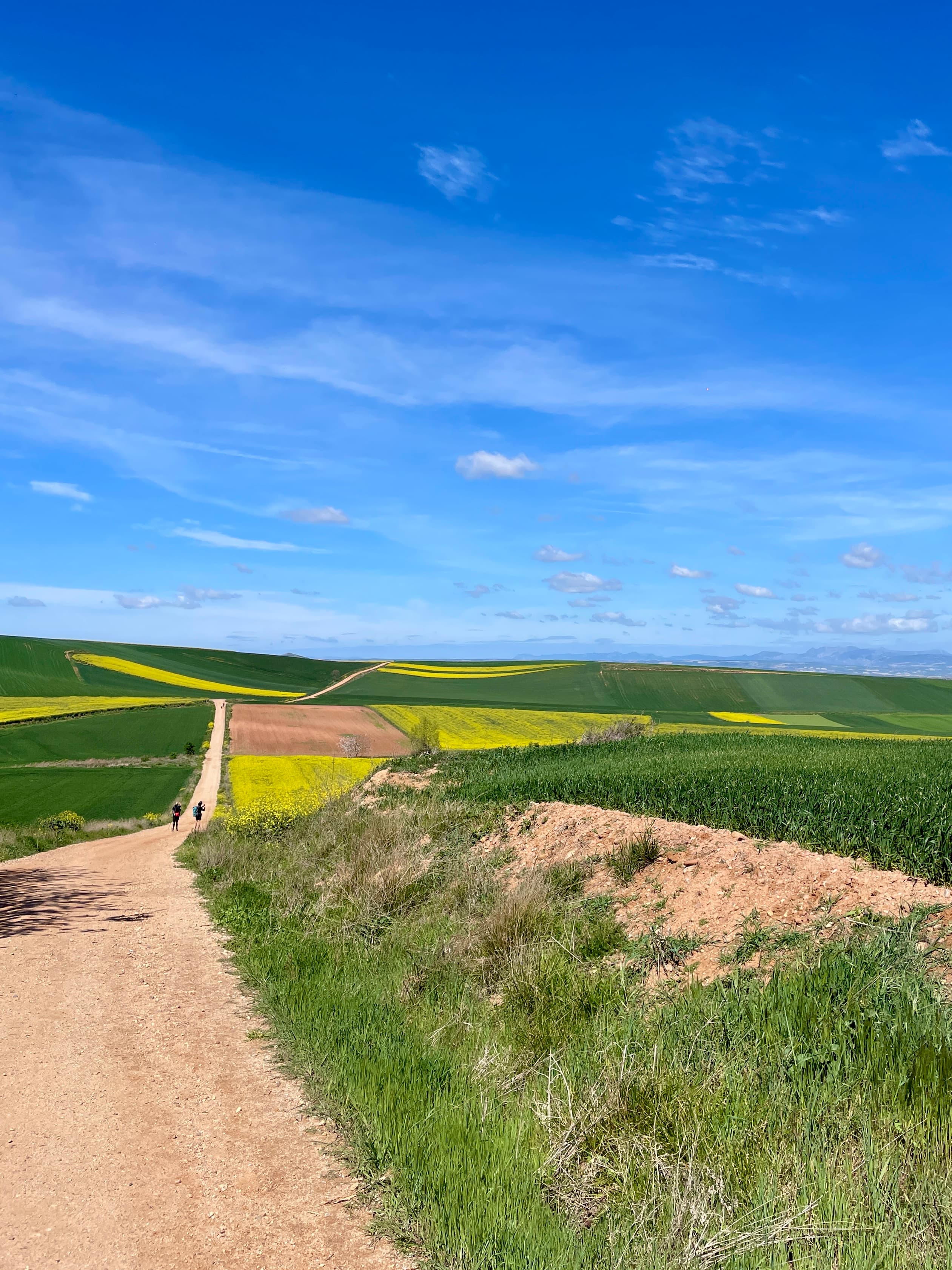
The classic 4-day Inca Trail is a 43 km pilgrimage from kilometre 82 of the Cusco–Machu Picchu railway to the Sun Gate above Machu Picchu, traversing three high passes through cloud forest, alpine puna, and stone-paved Inca paths older than the Spanish conquest. It's the most regulated trek in South America — 500 daily permits including porters, mandatory licensed guides, no independent hikers — and one of the most spectacular.
Day 1 starts gently along the Urubamba river to Wayllabamba, the last village before the climb. Day 2 is the hardest by a wide margin: a roughly 1,200 m ascent to the windswept Warmiwañusca pass at 4,215 m, the trail's highest point, followed by a knee-punishing descent into Pacaymayo. Day 3 crosses two more passes — Runkurakay and Phuyupatamarca — and visits the hilltop ruined fortresses of Runkurakay and Sayacmarca before dropping into cloud forest at Wiñaywayna, the trail's largest archaeological site. Day 4 begins around 3:30 AM to reach Inti Punku, the Sun Gate, in time to watch dawn light hit Machu Picchu — for most trekkers, the first view of the city is from above, on foot, at sunrise.
Permits are released annually each October and the high-season slots (May–September) routinely sell out within days. The trail closes every February for cleaning and slope stabilisation. Independent trekking is not permitted: every group must travel with a licensed Peruvian operator, a guide, and porters. Altitude is the main concern — Cusco itself sits at around 3,400 m, and trekkers should arrive 2–3 days early to acclimatise before starting. Dry season is May–September (cold nights, sunny days, dust); wet season is November–April (rain most days, but greener and quieter).
Where it goes
9 stops connecting Km 82 (Piscacucho) to Machu Picchu. Click a marker for details.
Classic 4-day route
The standard operator-led split. Day 2 is by far the hardest — a 1,200 m climb to Dead Woman's Pass at 4,215 m. Day 4 starts around 3:30 AM to reach the Sun Gate at sunrise.
- 1Km 82 (Piscacucho)Wayllabamba12 km12.0 km
- 2WayllabambaPacaymayo11 km23.0 km
- 3PacaymayoWiñaywayna16 km39.0 km
- 4WiñaywaynaMachu Picchu4 km43.0 km