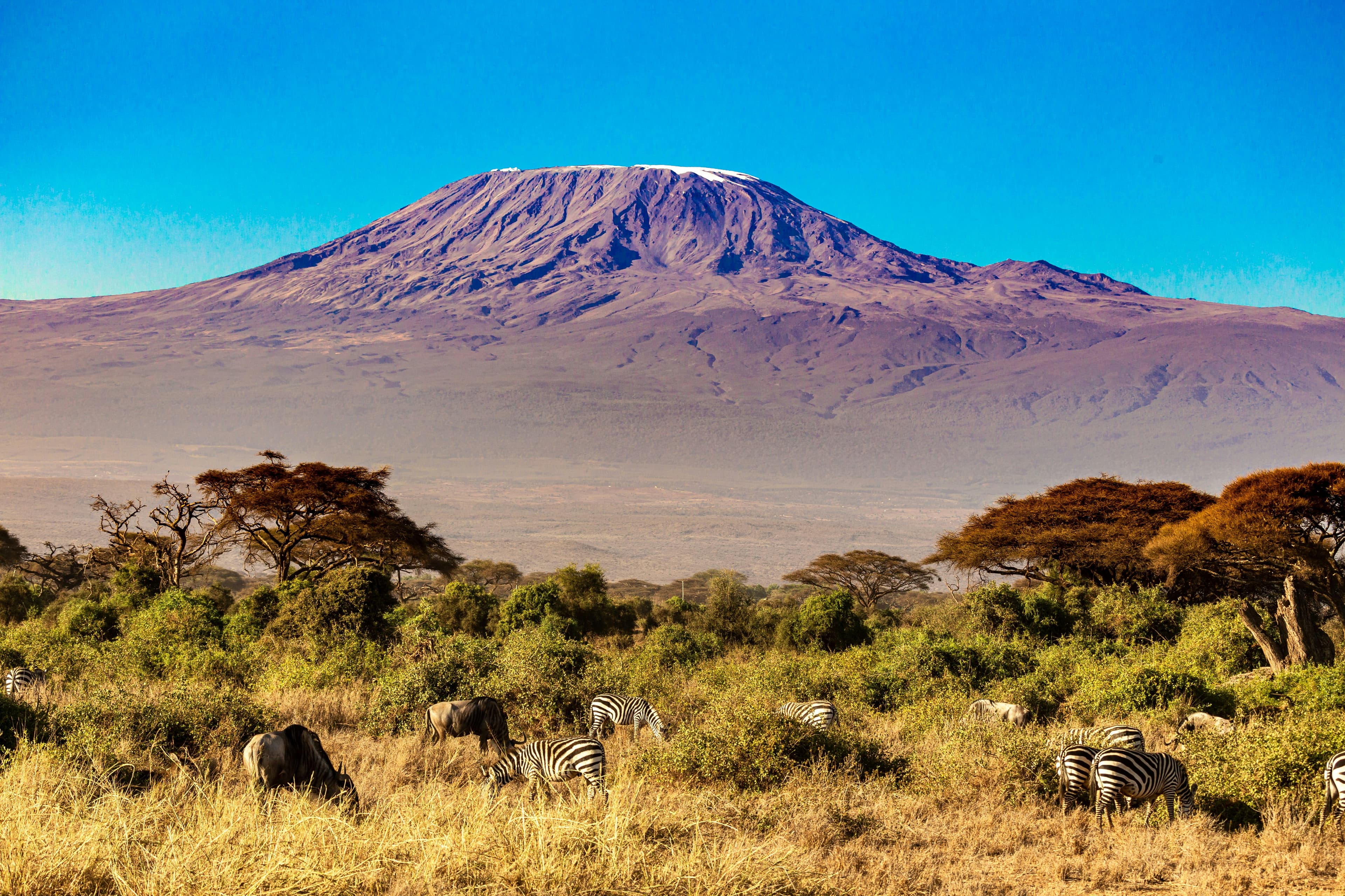
Ben Nevis
Lochaber, Highlands · Scotland
The UK's highest mountain — a 17 km return on the Mountain Track from Glen Nevis, with 1,352 m of climb to a summit plateau that holds snow most months of the year.
- Distance
- 17 km
- Elevation gain
- 1,352 m
- Duration
- 8 h
- Type
- Out & back
What you’re getting into
Ben Nevis (Beinn Nibheis in Scottish Gaelic) is the highest mountain in the British Isles at 1,345 m, rising directly from sea level above the West Highland town of Fort William. It's a flat-topped, glacier-carved massif with a famous 700 m north face beloved by winter ice climbers; the standard walking route is the Mountain Track, the old "Pony Track" up the south-west flank that was first cut in the 1880s to service the summit weather observatory.
The hike is 17 km round trip with 1,352 m of climb. From the Glen Nevis visitor centre, the track climbs zigzag through the lower bog, passes Halfway Lochan at 570 m, then attacks the long upper zigzag — relentless, exposed switchbacks across loose scree to the summit plateau. The plateau itself is a wide flat boulder-field; in cloud, navigating to the trig point cairn safely takes compass work because the cliffs are immediately east of the summit. The descent retraces the same path. Most fit walkers manage the round trip in 6–8 hours; slower groups can take 10.
Ben Nevis is climbable year-round but the conditions vary enormously by season. May to September is the standard walking window — the upper zigzag is reliably clear of snow, weather is at its mildest, and rescue teams are at peak readiness. October to April is true winter, with snow on the plateau and the very real possibility of ice axe and crampons being mandatory above 700 m. Don't underestimate the weather: the summit averages 261 gales a year, summit temperatures average 5°C below the valley, and Lochaber Mountain Rescue runs more callouts on Ben Nevis than any other Scottish hill — almost all because hikers in trainers and t-shirts got caught by sudden cloud and turned the wrong way off the plateau.
Where it goes
3 stops connecting Glen Nevis Visitor Centre to Ben Nevis summit. Click a marker for details.
Standard Mountain Track day hike
The "Pony Track" — Ben Nevis's original visitor route, well-graded but relentlessly uphill. Most hikers take 6–8 hours for the 17 km round trip. Navigation off the summit plateau in cloud is a real problem — the cliffs are immediately east of the summit cairn.
- 1Excursion fromGlen Nevis Visitor Centre17 km17.0 km